The Southwest with Sue: Part One
Whitney Lea
Tucson, Pheonix, Grand Canyon!
This episode of HerBig Idea is brought to you by the number 2!
In this post, our dusty and hungover travelers link up with two moms: Whitney's mom, Sue, and the mother of us all, Mother Nature.
Howdy, partner!
Before we could escape the barren dust plains of the Southwest, we had to drive through two cities we had very little interest in: Tucson and Phoenix. On Sunday we left Casa de Sueños to drive to Tucson, and we had to go toTucson for two reasons (and only two reasons as far as I'm concerned): My mom was flying into Tucson and Sam wanted to see the Pima Air & Space museum.
Airplanes!
We did stay in a nice B&B where we had a spectacular breakfast and we did explore downtown a bit, but there isn't much more to say beyond that. On our way out of town we headed to that Air & Space museum I mentioned. There were lots of historic planes and we got to do a tour of "the bone yard" where the US Military sends its aircrafts to kill time, get turned into drones and get shot down over the gulf for military practice, or get scrapped for parts. There were thousands of planes. Sam took pictures. See!


So then we headed to two cities smooshed into one place: Phoenix and Scottsdale. Two good things happened there: we bought a camp stove so we don't have to create fire from matches or cook with charcoal AND we did laundry.
Slow start, right? The nice part about that was that we had a chance to spend a little "normal" time all together before going into full road trip mode. Those two slow days were leading up to some big adventure for the three of us. We were headed to two legendary national parks: The Grand Canyon and Zion.
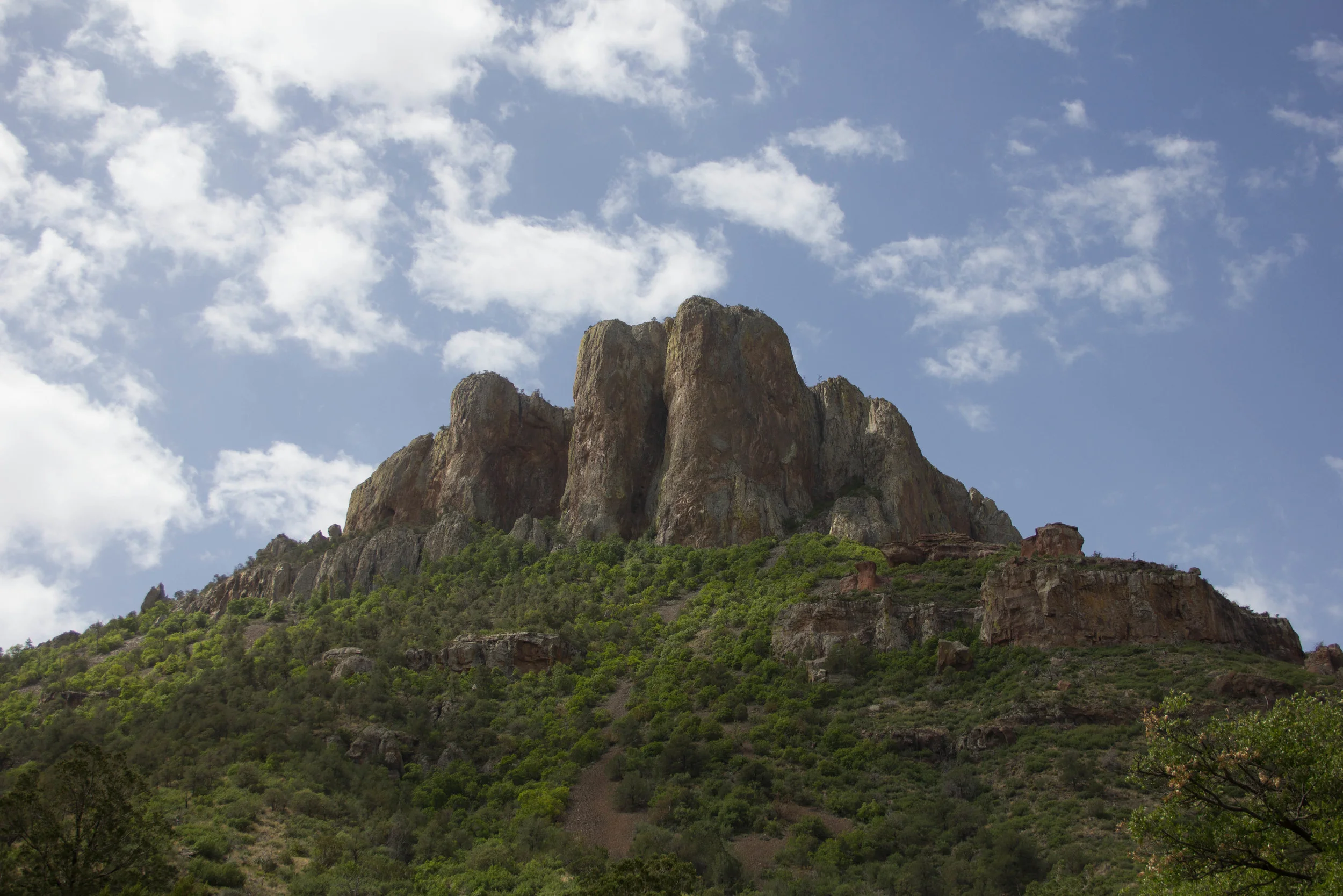
We decided to take a bit of a scenic detour on our way to the Grand Canyon to see two places that several people told us would make the drive more fun: Jerome, a historic mining town; and Sedona.
.png)
The mine, before it became an open pit mine. That's what Wiki says, anyhow.
We drove up a very windy road, saw a big old snake on the way, gained some serious elevation, and got to Jerome in time to eat a huge lunch. It's pretty difficult to imagine it was home over 10,000 people back in the boom times. Jerome is also famous because Maynard (from the bands Tool and A Perfect Circle) lives there and owns a wine shop or something. The two people that told us it was worth a visit also mentioned him, which was surprising because I don't know any Tool fans in their 50s. To be honest, I think my mom thought Tool was a place because everyone was saying "Maynard from Tool" and she asked "Where is Tool?" Sorry to "out" you, Mom! I promise she's really hip most of the time and knows all the cool bands. Sam took some nice pictures on the winding road up to Jerome, as well as of the town proper. See!


As we drove through Sedona, I saw how gorgeous it was and wished I had scheduled for us to stay a night or two there instead of in Tucson and Phoenix. But now I know in case there is a next time and you know now too. As we passed through town we saw so many great formations that we wanted to take pictures of.
We finally spotted a pull-off next to a stream. As we stood there we realized we could bushwhack a little to get down to the water and spent the better part of an hour down there watching birds, listening to the stream and enjoying a very intimate experience in nature, just the three of us. Sam even took some pictures. See!


So at this point we realized that we were running out of daylight. We spent almost an entire day doing what should have been a 4 hour drive. Sometimes that's my favorite way to do a drive. I know my mom was a bit concerned that we wouldn't get enough time in the Grand Canyon because of it, but I think and hope she enjoyed the explorations. By this point though all the of us had been building anticipation for more than two days. It was time to get there already!
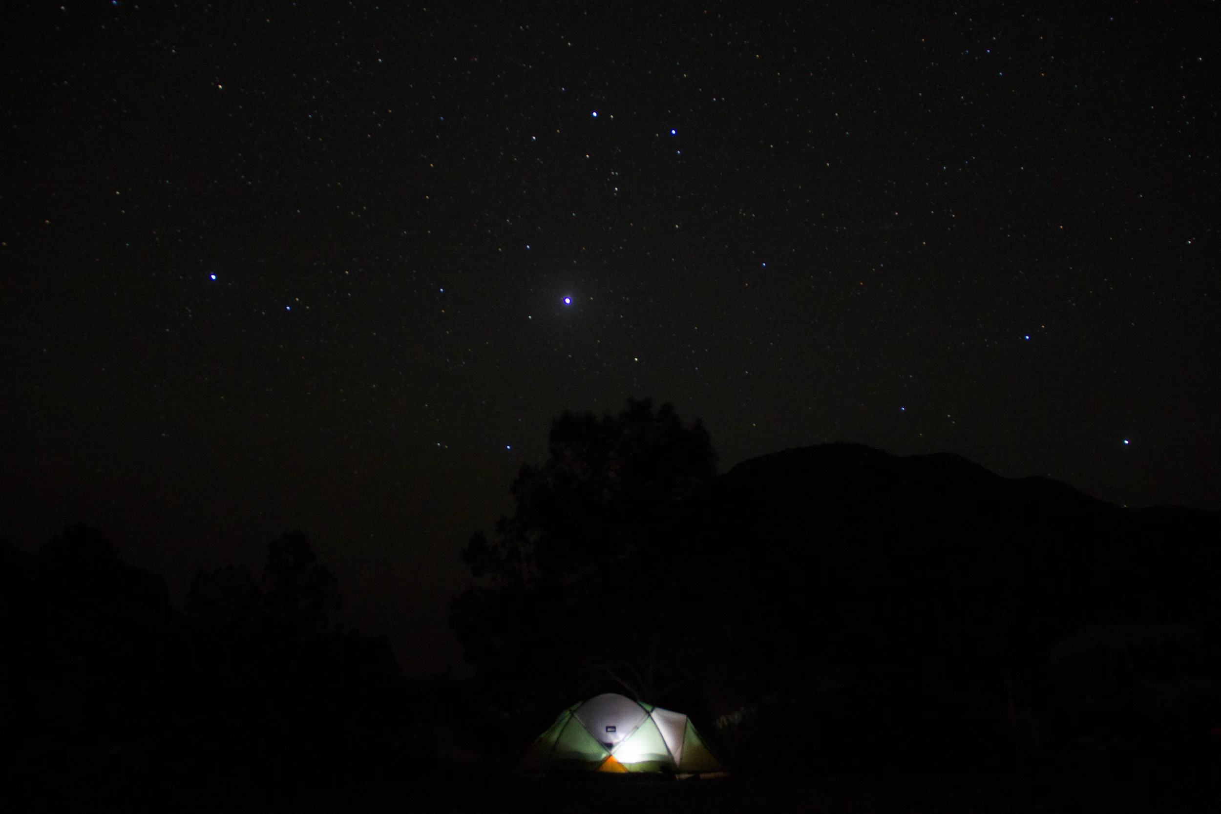
We made it in enough time to set up the tent and hightail it to the rim to watch dusk fall. My mom and Sam had both been to the canyon before. I had only seen pictures. When I walked toward the rim it was exactly as I had imagined. But then as we walked closer I realized it just kept going down. And down. And down. I could not see the bottom. It was somewhere waaay down there and I had no idea how far. It was the first time I remember looking at something and thinking it was unfathomable. It was the pictures I had in my head but much bigger and deeper than I ever could have realized. Calling it "grand" is belittling. It is huge and complicated to the point that I still can't wrap my head around one thing being so big. Mountain ranges are big like that too, but I think of them as an area or as a series of peaks, and therefore numerous places. I had always thought of the Grand Canyon as one single entity and that's what makes the enormity so unique.
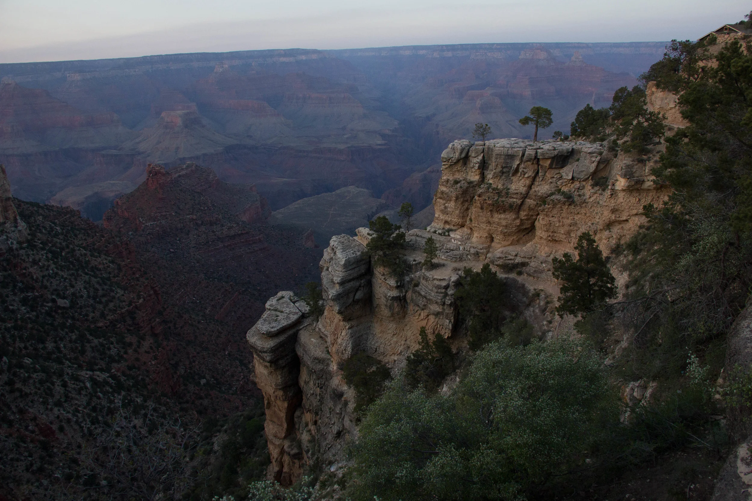
The only picture we took at the Grand Canyon!
We carried our own stuff up and down.
So we went back to the campsite, feeling the cool of the night turn to real cold. We fired up the new camp stove and excitedly cooked dinner faster that we ever had on this trip and inhaled the food faster too. We tucked in for the night — Sam and I in the tent, Mom cuddled up in the back seat of the Omimobile — and all three of us woke up very very cold. Just days earlier we had been sweating in the El Paso sun and now we were wearing longjohns, hats and coats. We ate a quick breakfast and took the shuttle to the Bright Angel (wiki!) trailhead.
[If you click into the 360º panoramas above and pan around, you should be able to click through to the other two I took — Sam]
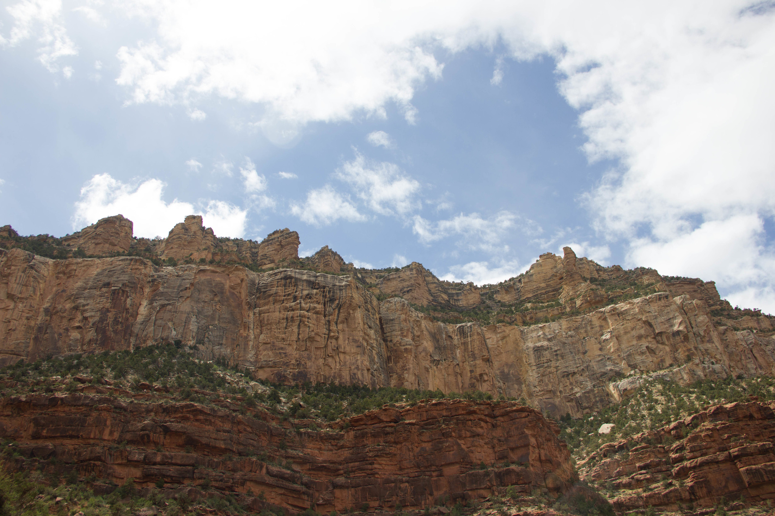
It started to snow as we began our decent. Not heavily and nothing stuck, but it was a little surprising nonetheless. We carefully strolled downhill as we greeted tired hikers making their way up from Phantom Ranch. It was overcast which gave the canyon a pastel color palette and the low contrast made for nice photos of the trail. See!


We hiked down to the first waypoint a mile and a half into the trail and decided we would try to make it to hut number two — three miles in — knowing that the hike down is the easy part. The weather was so perfect (in the high 50s I'd guess with little sun) we made it there easily. We took a small break and then Sam took a photo break. See!


We've been holding this post back, just so we could add this picture!
So now we faced the hike back up. We knew we could do it (or that we had to do it, whichever). In our way up the sun peeked out, the weather got warmer, but we were cooled with small pockets of light rain. Our energy was good and it was nice to look into the canyon at parts of the trail we had already finished.
After five hours and thirty minutes we were back at the trailhead, exhausted but feeling quite proud if our six mile hike. We got on the shuttle to look at other parts of the canyon. See!


Then we had to check out the Kolb studio, a photo studio built into the canyon. It's now a museum that talks about the Kolb brothers and their daring exploits to make money as photographers when the canyon was initially being settled by pioneers.
That's the Kolb's "work place"
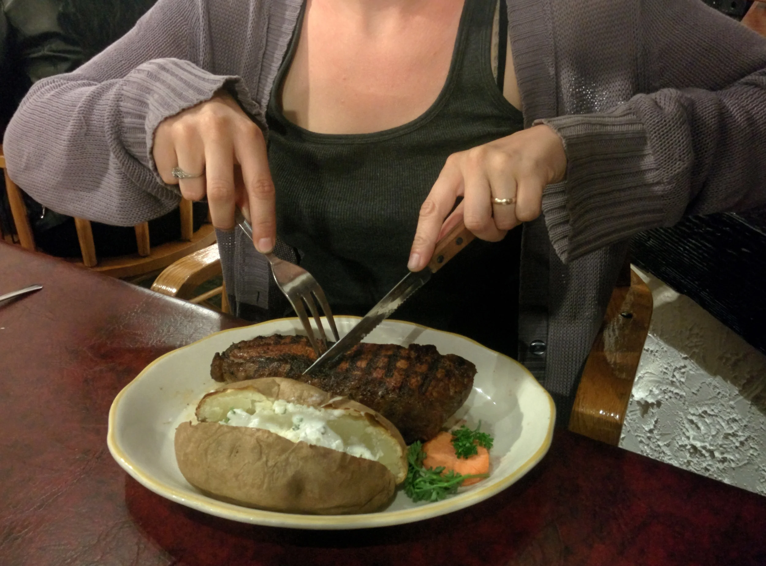
After all of that we decided we had all earned drinks, so we got two cocktails and a ginger beer at the lodge and sipped then on a mezzanine while trying not to pass out.
We woke each other up and hobbled to the shuttle only to hop off to make a run to the store for campfire wood. That's not the interesting part. The two elk we came across on the way there were. We were maybe 50 feet from them so Sam took pictures. See!


We made another great meal with our fancy dancy stove (roasted potatoes, sausage, broccoli, peppers, tomatoes, and cheese. Yum!) and then sat by our first real campfire of the trip to tell my mom all about our travels so far.
The next morning we stopped by the visitors center to stamp our National Parks Passport and got a few planning tips from a ranger there. We made sure to swing by The Watchtower on our way out of the park. See!


The rest of the story happens in part two!